Press Releases
Accuracy of UAV Photogrammetry Compared with Network RTK GPS
Baseline Surveys Ltd is a company which specialises in the supply of accurate geospatial data, such as cadastral, topographic and engineering survey data to commercial and government bodies. Baseline Surveys Ltd invested in aerial drone photogrammetric technology and needed to establish the accuracy of the geographic data derived from our UAV photogrammetry before marketing our new aerial mapping service. Having supplied the construction industry with survey data for more than 20 years, we felt that is was crucial for our clients to clearly understand the accuracy of our photogrammetry so they can safely make informed spatial decisions, within the known accuracy limitations of our data. This information would also inform us on how and where UAV photogrammetry can be utilised. Read More
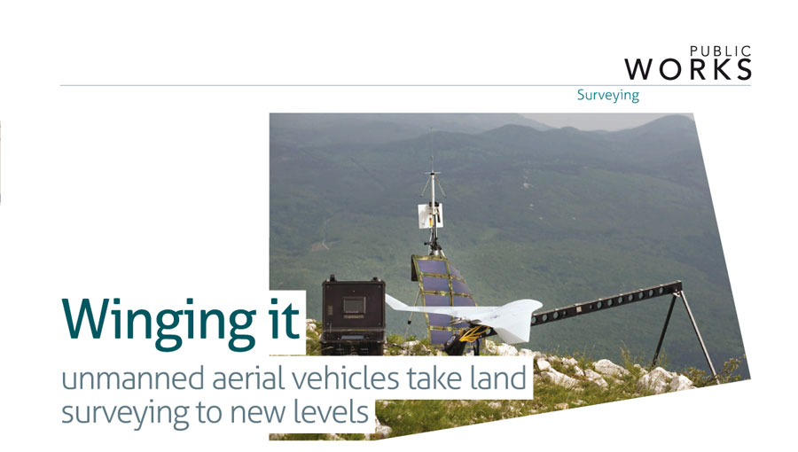
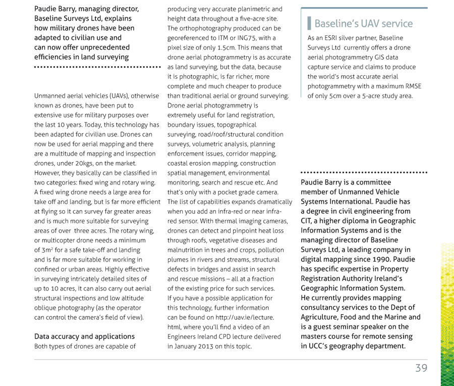
The sky's the limit for drone technology
Paudie Barry writes about the different types of unmanned aerial vehicles and their many potential applications, from corridor mapping to search and rescue missions Unmanned aerial vehicles, otherwise known as drones, have been put to extensive use for military purposes over the last 10 years. Now this technology has filtered down into civilian use, as drones can be used for aerial mapping to great effect. In this article, readers are given an introduction to a variety of drone types, their applications and the accuracy of data that can be derived from drone aerial photography. Read More